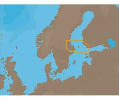
Standard Mapping® – Texas East Classic microSD™/SD™ Card
Statewide coastal aerial overlay provides high-resolution imagery and local names of waterways and land features.High-resolution Aerial ImageryReplaces the basemap so you can see every waterway and land feature.High-definition Offshore MappingHigh-contrast offshore elevation shading allows you to easily see detail.Local NamesIdentifies local waterways and land features.
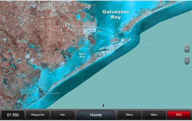
Garmin Standard Mapping – Texas East – Classic – microSD/SD Card
Original price was: $40.00.$22.63Current price is: $22.63.
Sale!Related products
Sale!
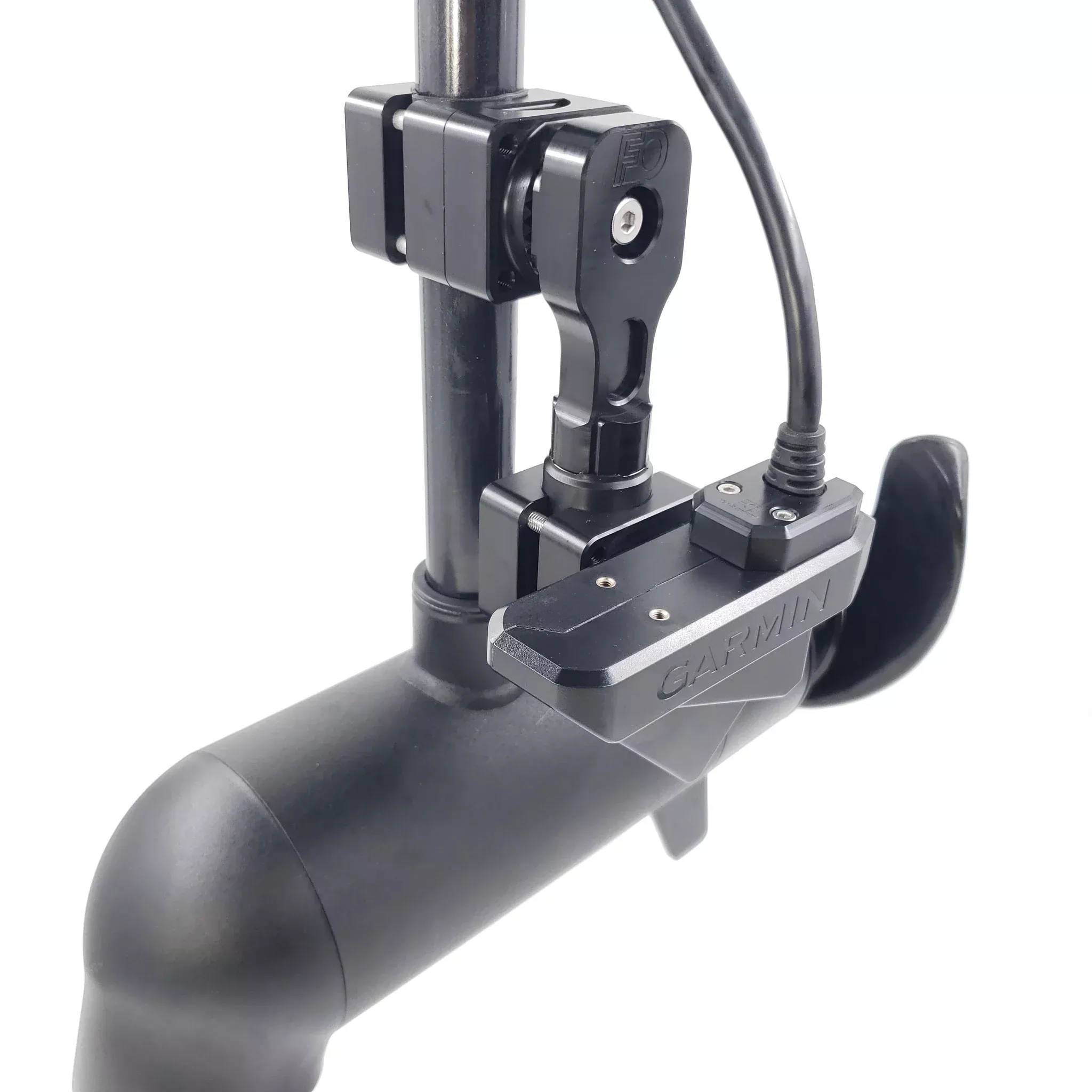
DOMINATOR-GARMIN LVS32 TROLLING MOTOR ZPKG
Original price was: $131.96.$72.94Current price is: $72.94.
Sale!

SEAready Recessed Mount Kit for 4-Switch Panel – Black
Original price was: $32.00.$22.84Current price is: $22.84.
Sale!

19mm Console Light Actuator
Original price was: $5.60.$3.45Current price is: $3.45.
Sale!
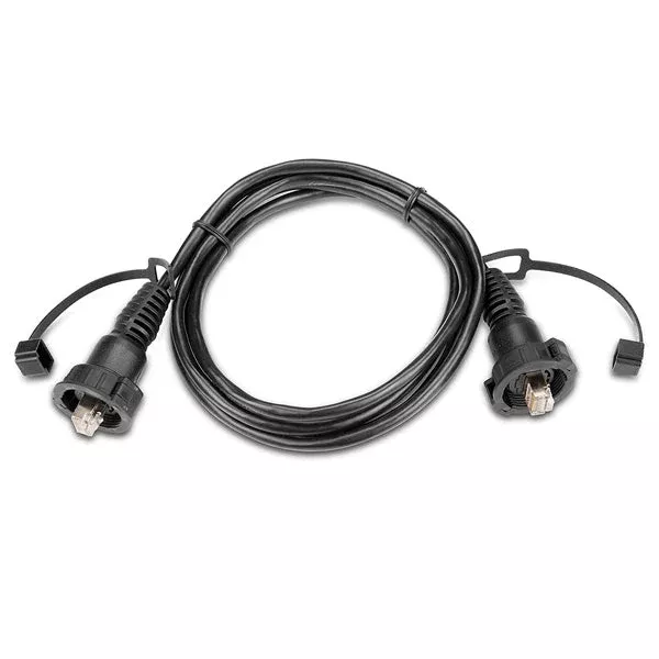
Garmin RJ45 Marine Electronics Network Cable – 6ft. or 20ft.
Original price was: $31.99.$25.24Current price is: $25.24.
Sale!