Integrated UHD probe
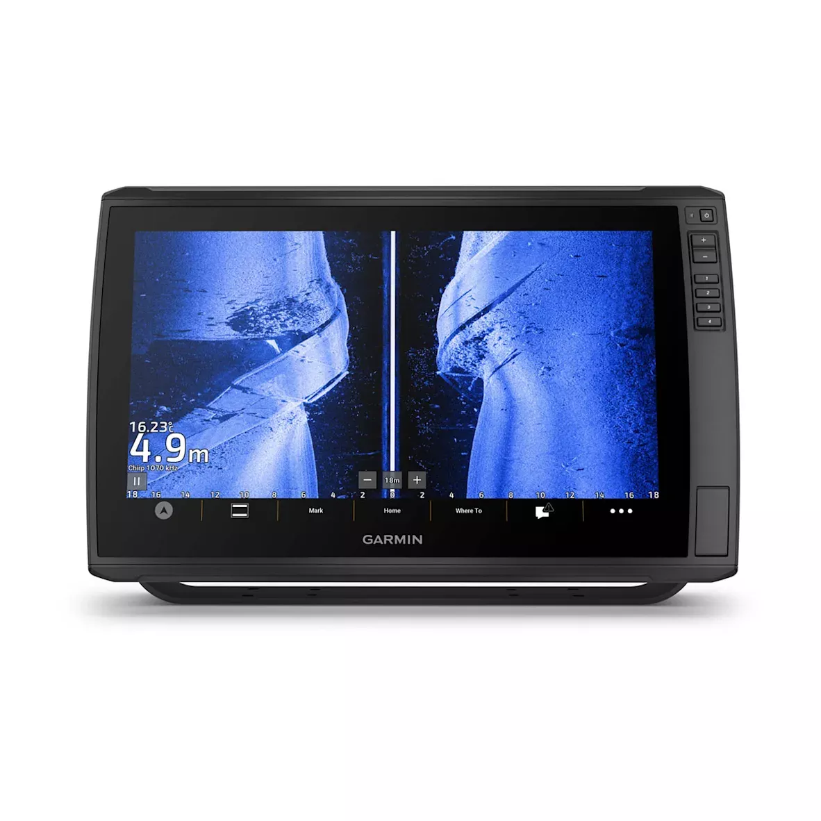
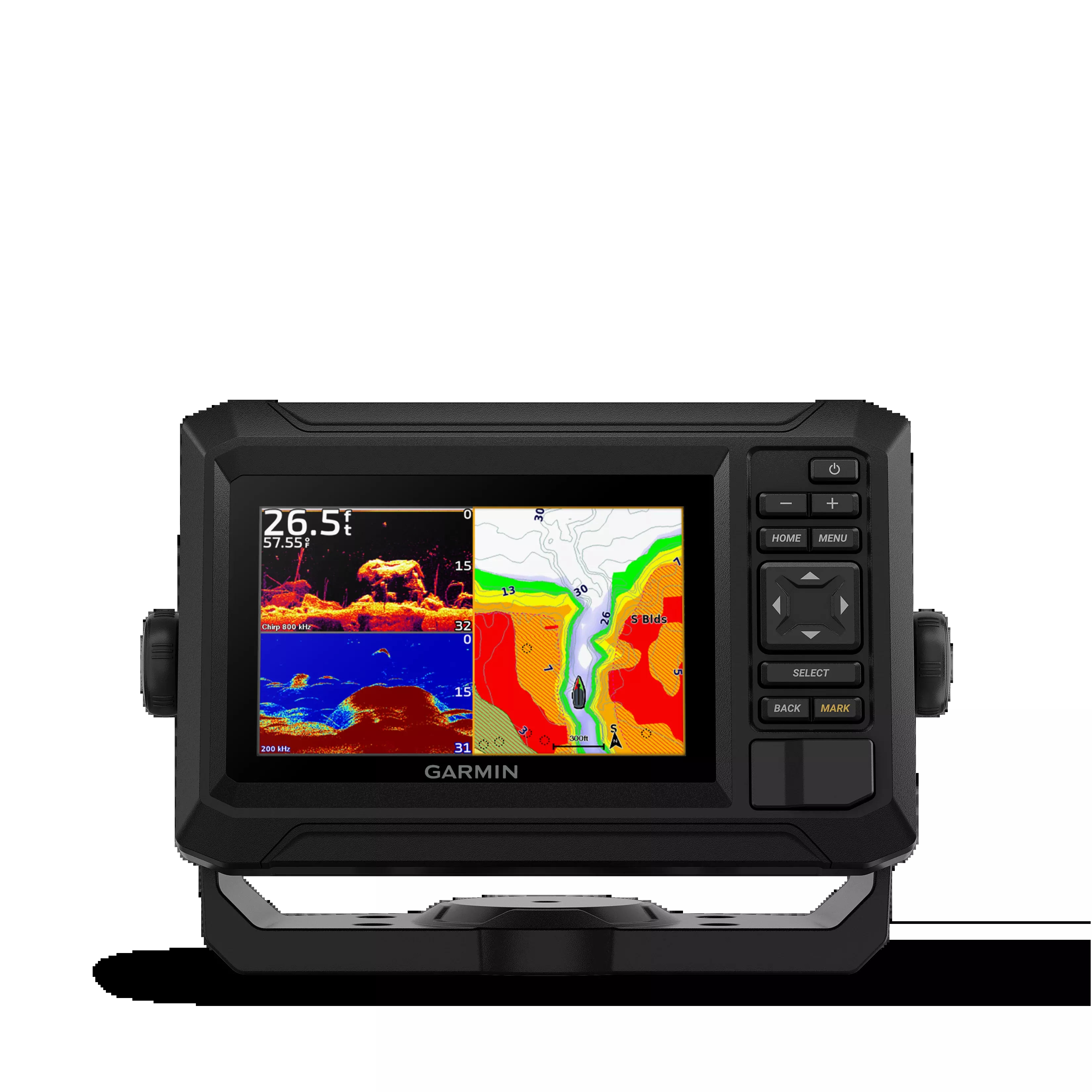
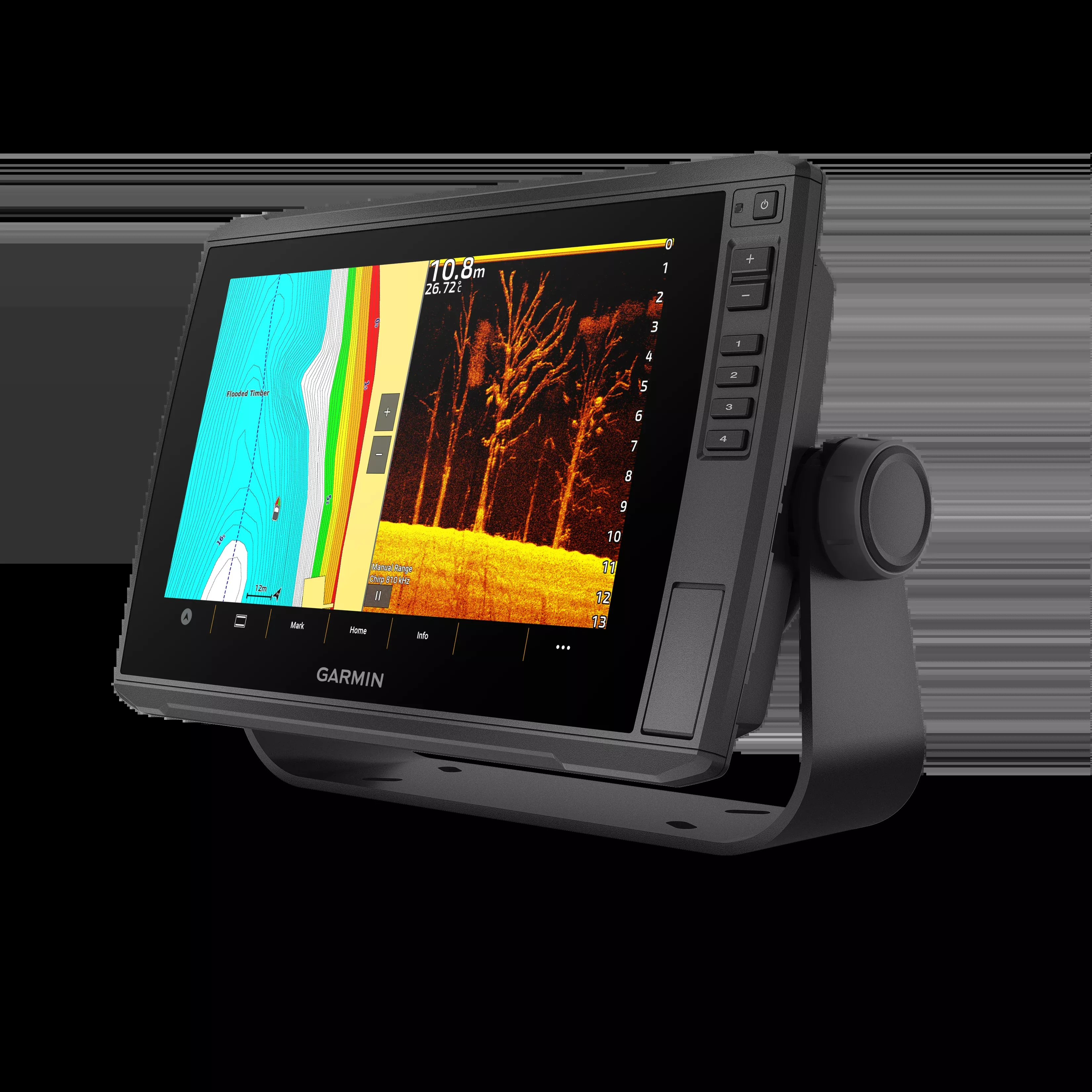
Some models include a GT56 transducer that provides the traditional Garmin CHIRP probe and the ultra-high-definition ClearVü™ and SideVü™ exploration probes to obtain photographic-quality images of what is under the surface.
Intense color ranges
Thanks to the intense and high-contrast color ranges of the exploration probes, distinguishing objectives and structures has never been easier.
MAPS
Renew your plotter with the optional Garmin Navionics+™ mapping or the advanced Garmin Navionics Vision+™, which includes built-in coastal and indoor content, access to daily updates, Auto Guidance+™ technology and much more.
Wireless networks
If you have another compatible ECHOMAP Ultra 2 or ECHOMAP UHD2 plotter on the boat, you can share information wirelessly, such as probe3 images, waypoints and routes, between them.
Specifications:
Physical and performance
| Screen size (Width/High) | 26,1 X 16,3 cm; 30.7 cm Diagonally (10,3′′ X 6.4′′; 12,1′′ diagonally) |
| Power input | De 9 a 18 V de CC |
| Screen resolution (Width/High) | 1280 X 800 pixels |
| GPS | Yes |
| Dimensions of the unit (Width/High/Depth) | 34,1 X 22,9 X 9,8 cm (13,4″ X 9″ X 3,9″) |
| Receptor | 10 Hz |
| Classification of water resistance | IPX7 |
| Weight | 2,5 kg (5,5 lbs) |
| Assembly options | On the surface or recessed |
| Type of screen | Wxga, ips |
Maps and navigation
| Garmin Navionics+™ (costas) | No |
| Garmin Navionics Vision+™ | Yes |
| Supports data cards | 2 cards microSD |
| Garmin Navionics+ de interior y coast | No |
| Garmin Navionics+ (interior) | No |
| Rutas | 100 |
| Garmin Navionics+™ | Yes |
Characteristics
| Waypoints | 5000 |
| Navigation functions | Yes |
| Compatible with NMEA 0183 | No |
| Built-in receiver | Yes |
| Ports USB | No |
| Topo 100K | Yes |
| SideVü | 260/455/800/1000/1200 kHz Integrated |
| Amite DSC (sends the position data to the VHF compatible with DSC) | Yes |
| Touch screen | Yes |
| LakeVü g3 Ultra | No |
| Compatible with NMEA 2000® | Yes |
| ActiveCaptain-yhteensopiva | Yes |
| Typical current consumption at 12 V DC | 2,5 A |
| Ports NMEA 2000® | 1 |
| Tide prediction | No |
| Glonass | Yes |
| Track points | 50,000 |
| Panoptix™ sonar | Yes |
| Garmin Marine Network ports™ | 2 (Large connector) |
| LakeVü g3 | No |
| Compatible with WAAS | Yes |
| GSD™ Black Box -luotaimen tuki | No |
| Maximum current consumption at 12 V DC | 5 A |
| Compatible with Garmin SmartMode (customizable monitor default settings) | No |
| Auto ruta | No |
| Maximum electricity consumption at 10 V DC | 36 W |
| BlueChart g3 | Yes |
| Standard maps | Yes |
| LakeVü (interior) | No |
| Auto Guidance+ integrada | No |
| Show the probe | Yes |
| ANT+™ (Connectivity) | Yes |
| GCV™ Black Box -luotaimen tuki | No |
| BNC port for external antenna | No |
| Voice audio alerts | No |
| BlueChart g3 Vision | Yes |
| Garmin Wi-Fi® network (local connection) | Yes |
| Screen keys | Touch screen with keys |
| BeiDou | Yes |
| Garmin Quickdraw Contours | Yes |
| Bluetooth® calls | No |
| Supports AIS (tracks the position of the target boats) | Yes |
| Compatible with multi-band and multi-constellation GPS | Yes |
| Compatibility with raster cards | No |
| Compatibility with OneHelm™ | No |
| ClearVü | 260/455/800/1000/1200 kHz Integrated |
| Tracks | 50 tracks guardados |
| Wireless control | No |
| Admite radios compatibles con FUSION-Link™ | Yes |
| Galileo | Yes |
| LiveScope | Yes |
| Power output | 600 W |
| Ports for 12-pin transducer | 12-pin exploration probe |
| BlueChart® (coast) | No |
| Traditional probe (dual beam/frequency) | Integrated (one-channel CHIRP, 70/83/200 kHz, L, M, H CHIRP) |
| Compatible with GRID™ (Garmin remote input device) | No |
FAQs
To meet RF exposure requirements, the device must be installed and used with at least 20 cm (7.87 in.) distance between it and your body.
Garmin is not responsible for damages or expenses resulting from mistakes during mounting if you did not follow the provided template instructions precisely.
After printing the template, measure at least one dimension with a ruler to confirm it is at 100% scale.
Repairs should only be made by an authorized Garmin service center to avoid permanent damage or voiding your warranty.
Proximity to devices using terrestrial broadband networks close to GNSS frequencies may degrade GPS performance and impair signal reception.
Dispose of the device and batteries according to your local waste disposal regulations by contacting the appropriate department.
Do not operate or store the device outside the temperature ranges specified in the manual, as it may affect performance or safety.
Yes, always use authorized government charts in addition to the device for safe navigation.
Contact the SailRACE team — as certified marine experts we’re happy to help with product selection, installation and after-sales servicing, before and after your purchase.