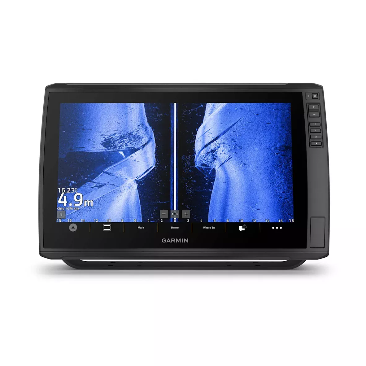
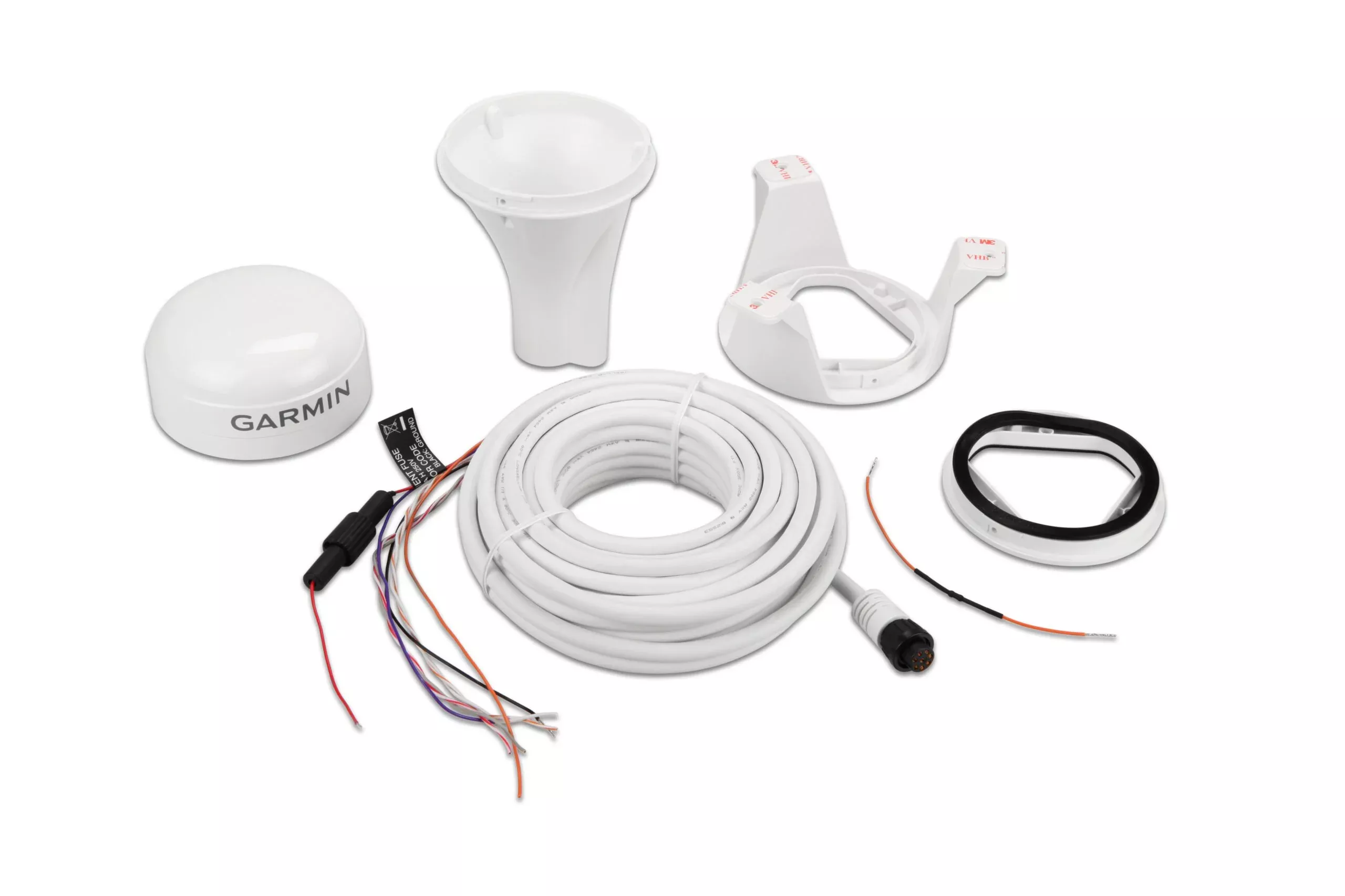
TThe sunlight-readable 7” touchscreen chartplotter features a quick-release bail mount, and the transducer bundle adds Ultra High-Definition scanning sonar and CHIRP traditional sonar.
Sonar support
This chartplotter supports a variety of Garmin transducers (sold separately), including the Panoptix LiveScope™ scanning sonar system, which lets you see all around your boat in real time.
Optional transducer bundle
Select the transducer bundle to add a GT24 transducer for Ultra High-Definition ClearVü scanning sonar, which shows you a crystal-clear image below your boat. Plus, you get Garmin high wide CHIRP traditional sonar for remarkable target separation.
Optional charts and maps
Experience unparalleled coverage and detail with support for optional BlueChart® g3 Vision coastal charts featuring integrated Garmin and Navionics® content.
Quickdraw contours
Create personalized fishing maps on-screen with 1’ contours. Keep the data to yourself, or share it with the Quickdraw Community on Garmin Connect™.
Network capable
If you have multiple compatible ECHOMAP UHD or ECHOMAP Ultra devices on your boat, you can share information — such as sonar, user data and charts — among them (7” and 9” models only).
NMEA 2000® And NMEA 0183 networks
Connect to autopilots, digital switching, weather, FUSION-Link™ audio system, media, VHF, AIS and more from one screen.
Activecaptain® APP
Built-in Wi-Fi® connectivity pairs with the free all-in-one mobile app for access to the OneChart™ feature, smart notifications, software updates, Garmin Quickdraw™ Community data and more.
FORCE™ Trolling motor compatibility
Take control of the most powerful and efficient trolling motor available, route it to waypoints, follow tracks and more from the screen of your chartplotter.
Engine connectivity
Connect this chartplotter to different kinds of engines — including select Mercury and Yamaha® models — to see RPMs, fuel flow, temperature, trim and other important information at a glance. You may need additional hardware, so be sure to check with your engine manufacturer.
Content:
- ECHOMAP UHD 72cv with worldwide basemap
- Power/data cable
- Tilt/swivel mount with quick release cradle
- Flush mount
- Protective cover
- Hardware
- Documentation
Specifications:
General |
|
| Dimension | 9.8″ X 5.5″ X 2.0″ (25 X 13.9 X 5.1 cm) |
|---|---|
| Weight | 1.7 lbs (0.77 kg) |
| Water rating | IPX7 |
| Touchscreen | Yes |
| Display Type | Wvga, np |
| Display Size | 6.1″ x 3.4″; 7.0″ diagonal (15.5 x 8.6 cm; 17.8 cm diagonal) |
| Display resolution | 800 X 480 pixels |
| Mounting Options | Bail or flush |
| Input | Touchscreen with Keyed Assist |
Maps & Memory |
|
| Accepts Data Cards | 1 microSD card; 32 GB maximum size |
|---|---|
| Waypoints | 5000 |
| Track points | 50,000 |
| Tracks | 50 saved tracks |
| Navigation Routes | 100 |
Sensors |
|
| GPS | Yes |
|---|---|
| Has built-in receiver | Yes |
| Receiver | 5 Hz |
| NMEA 2000 Compatible | Yes |
| NMEA 0183 Compatible | Yes |
| Supports WAAS | Yes |
Built-in Maps |
|
| Tide tables | Yes |
|---|
Optional Map Support |
|
| BlueChart g3 | Yes |
|---|---|
| BlueChart g3 Vision | Yes |
| LakeVü g3 | Yes |
| LakeVü g3 Ultra | Yes |
| Garmin Navionics+™ | Yes |
| Garmin Navionics Vision+™ | Yes |
| Topo 100K | Yes |
| Standard Mapping | Yes |
| Garmin Quickdraw Contours | Yes |
Chartplotter Features |
|
| AIS | Yes |
|---|---|
| DSC | Yes |
| Supports Fusion-Link™ compatible radios | Yes |
| ActiveCaptain® compatible | Yes |
| Wireless Remote Compatible | Yes |
| Sailing Features | Yes |
Electrical Features |
|
| Power Input | 9 to 18 Vdc |
|---|---|
| Typical current draw at 12 Vdc | 0.8 A |
| Maximum current draw at 12 Vdc | 1.25 A |
| Maximum power usage at 10 Vdc | 15W |
Sonar Features |
|
| Displays sonar | Yes |
|---|---|
| Power output | 500 W |
| Traditional sonar (dual frequency/beam) | built-in (single channel CHIRP, 70/83/200 kHz, L, M, H CHIRP) |
| ClearVü | built-in 260/455/800/1000/1200 Khz |
| Panoptix™ sonar | Yes |
| LiveScope | Yes |
Connections |
|
| NMEA 2000® ports | 1 |
|---|---|
| NMEA 0183 Input (Rx) Ports | 1 |
| NMEA 0183 output (Tx) ports | 1 |
| Garmin Marine Network Ports | 1 Panoptix™ port |
| 8-pin transducer ports | 1 |
FAQs
You should use the template provided in the product box to ensure correct sizing and avoid potential damage to your boat.
Install and operate the device at least 20 cm (7.87 in.) from your body to comply with RF exposure requirements.
The box contains the ECHOMAP UHD 72cv, power/data cable, tilt/swivel mount with quick release cradle, flush mount, protective cover, hardware, and documentation.
The device must not be co-located or operated in conjunction with any other transmitter or antenna.
Printing your own template can lead to incorrect sizing, resulting in an improper cutout on the mounting surface.
Garmin is not responsible for damages caused by miscuts from failure to use the correct mounting template.
Not all wireless connections are secure; pair devices in a secure location.
Increase separation between equipment or reorient antennas to reduce RF or GPS interference.
There are no user-serviceable parts; only authorized Garmin centers should perform repairs.
Contact the SailRACE team — as certified marine experts we’re happy to help with product selection, installation and after-sales servicing, before and after your purchase.